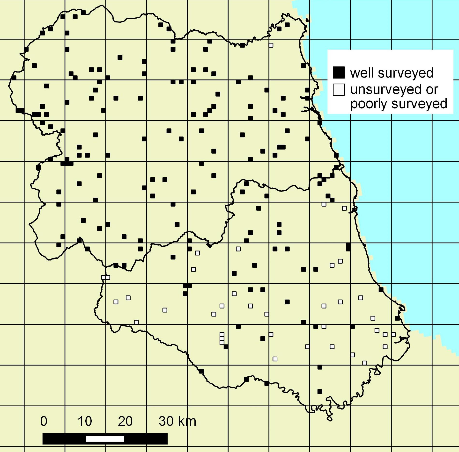
The distribution of randomly selected grid squares in Durham and South Northumberland. Selected sites that remained unsurveyed or have been inadequately surveyed over the four years are indicated. The vice county boundary data is public sector information licensed under the Open Government Licence v3.0.