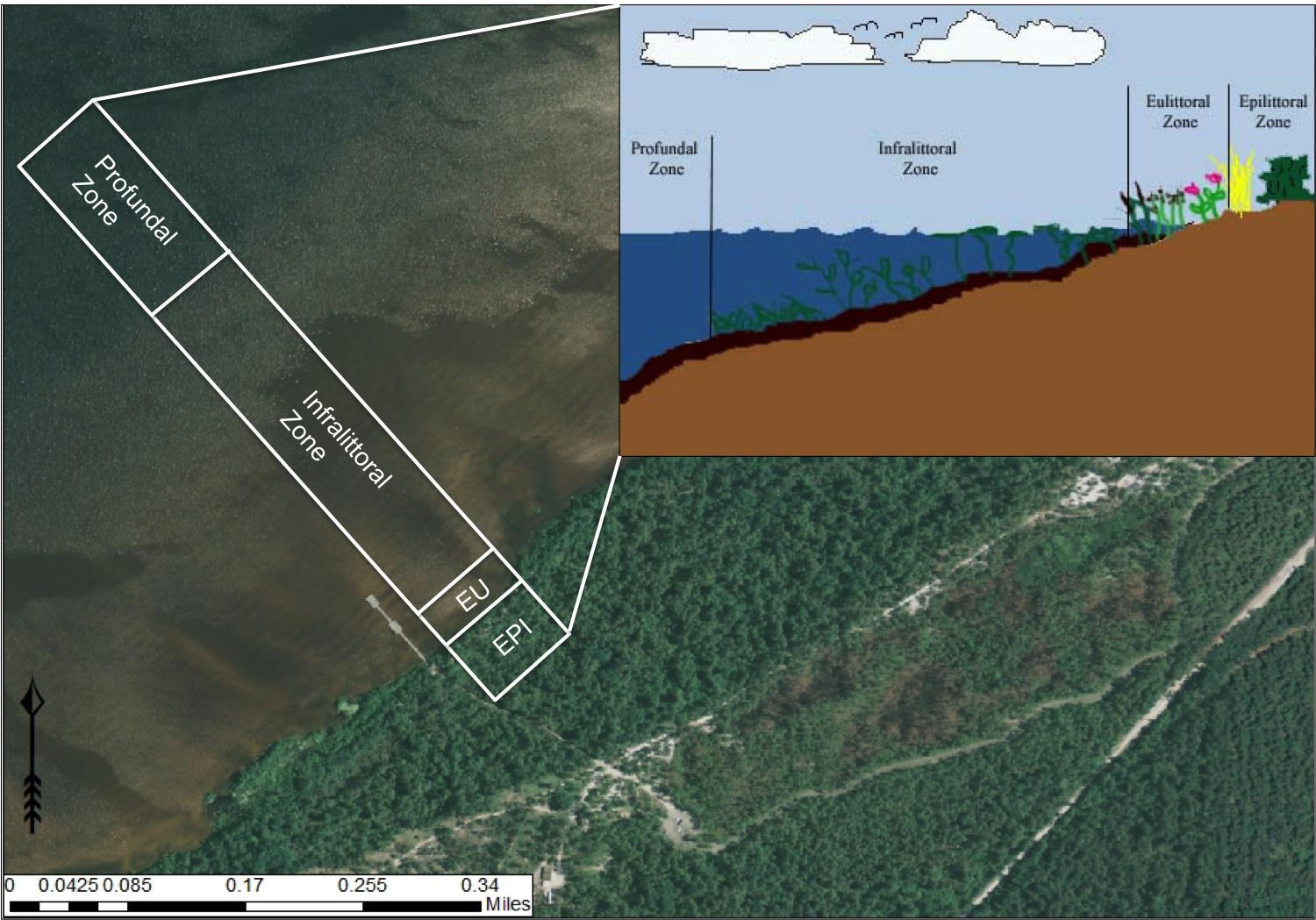
Lacustrine zonation. EPI = epilittoral zone, EU = eulittoral zone. Aerial imagery obtained from NRCS Geospatial Data Gateway: https://gdg.sc.egov.usda.gov. Map Produced by Nathan Howell using ArcGis Desktop: Version 10.2.2. (
|
|
||
|
Lacustrine zonation. EPI = epilittoral zone, EU = eulittoral zone. Aerial imagery obtained from NRCS Geospatial Data Gateway: https://gdg.sc.egov.usda.gov. Map Produced by Nathan Howell using ArcGis Desktop: Version 10.2.2. ( |
||
| Part of: Howell N, Krings A, Braham R (2016) Guide to the littoral zone vascular flora of Carolina bay lakes (U.S.A.). Biodiversity Data Journal 4: e7964. https://doi.org/10.3897/BDJ.4.e7964 |