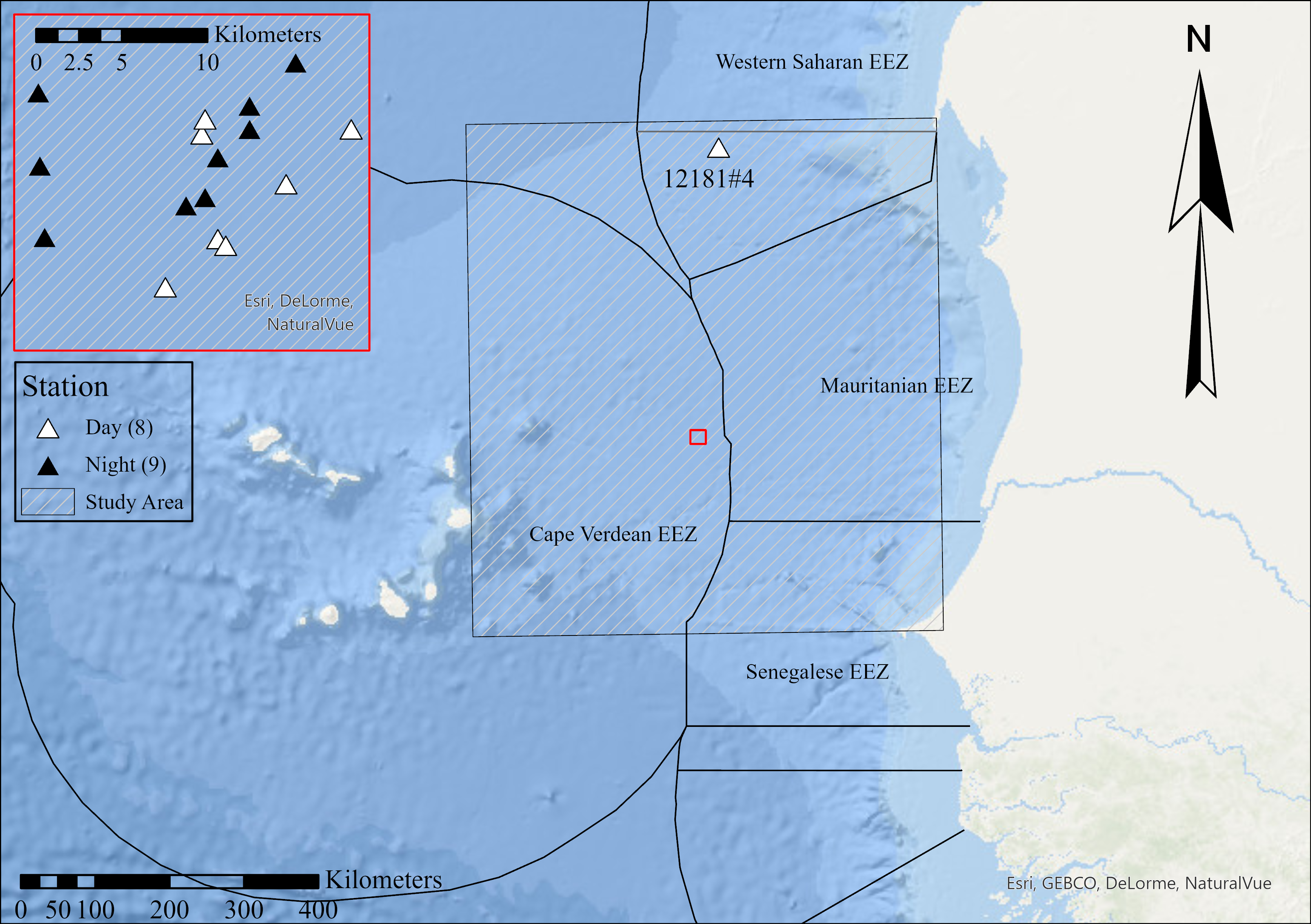
Sample location map: The single sampling event (12181#4) from the Northern Station, located within the EEZ of Western Sahara, is shown on the wider-scale map. All sampling events from the Southern Station (12183), located within the EEZ of Cape Verde, are plotted inside the red inset. Daytime samples are indicated with a white triangle, night-time trawls with a black triangle. The Study Area polygon, used to identify novel local records, is shown by the grey-hatched rectangle. Map produced in ArcGIS.