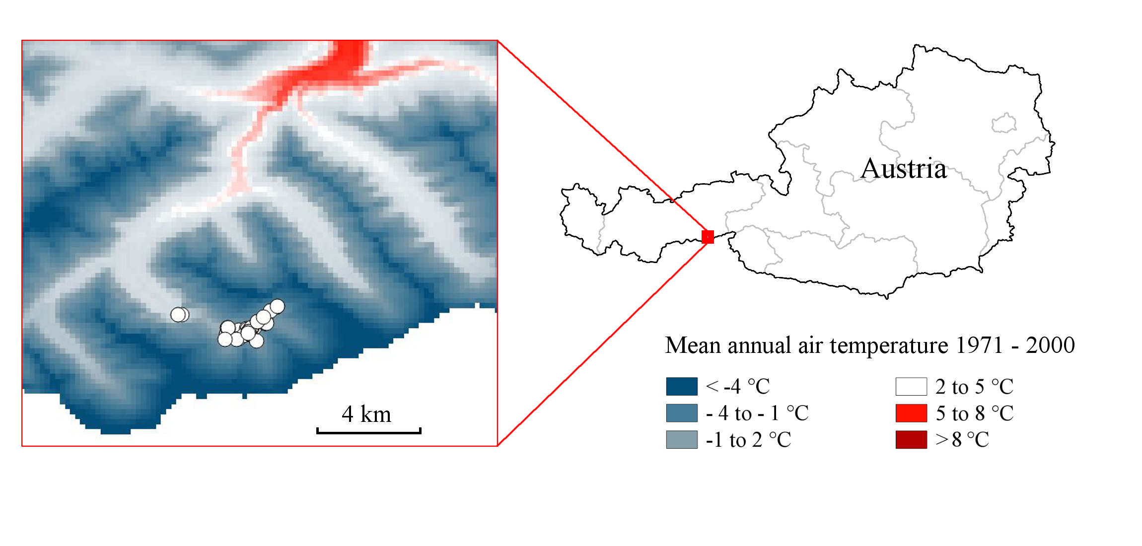
A temperature-based climate map of the study area and its localization in Austria. The map shows the mean annual air temperature for the period 1971 – 2000 with linearized color interpolation and is based on the data of
|
|
||
|
A temperature-based climate map of the study area and its localization in Austria. The map shows the mean annual air temperature for the period 1971 – 2000 with linearized color interpolation and is based on the data of |
||
| Part of: Bossert S (2014) The high alpine bee fauna (Hymenoptera: Apoidea) of the Zillertal Alps, Austria. Biodiversity Data Journal 2: e1115. https://doi.org/10.3897/BDJ.2.e1115 |