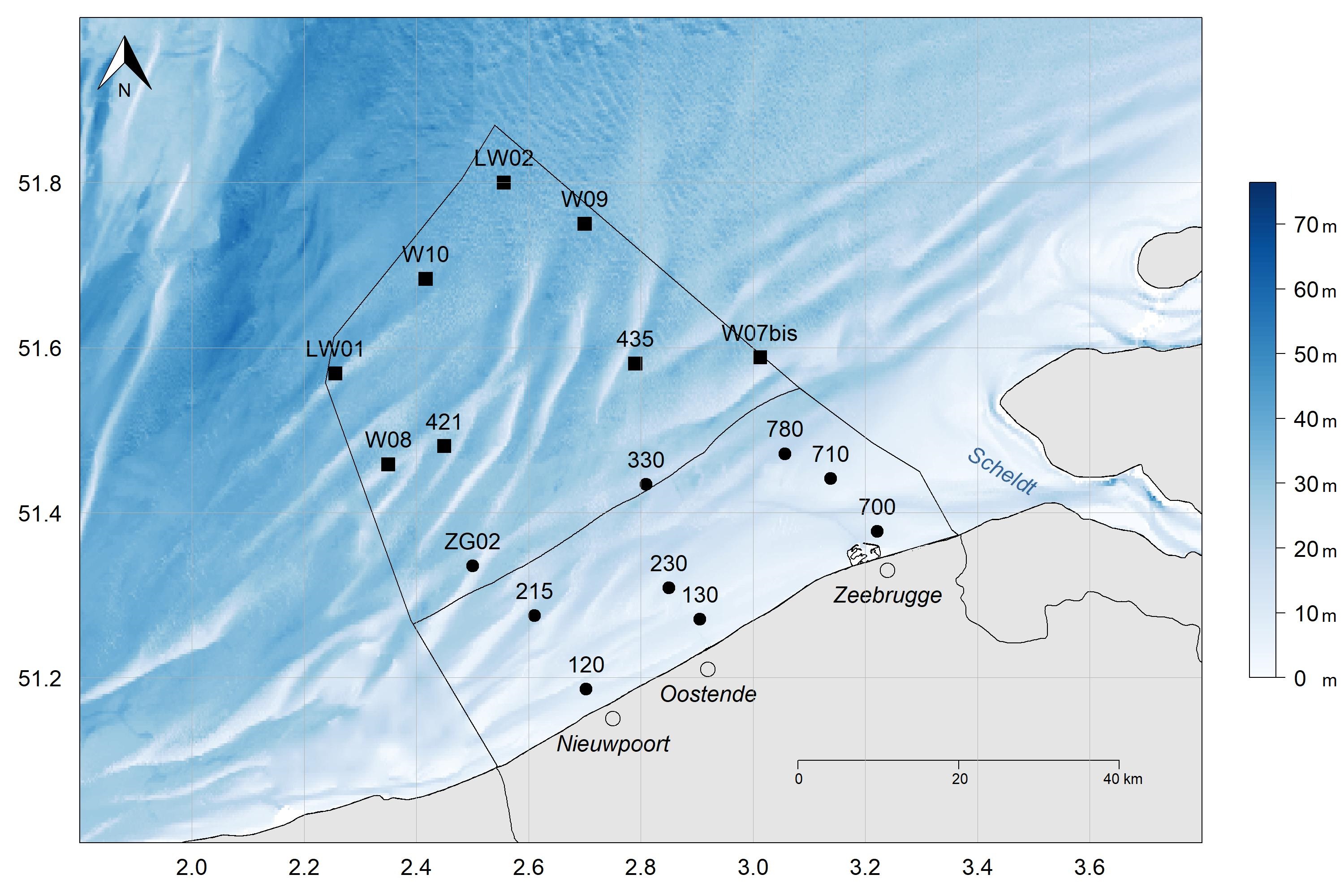
Study sites on the Belgian Part of the North Sea (BPNS). Nine stations onshore (black points), visited monthly: 120 (51°11'9.6", 2°42'9"); 130 (51°16'13.8", 2°54'19.2"); 215 (51°16'29.4", 2°36'39"); 230 (51°18'31.2", 2°51'1.2"); 330 (51°26'3", 2°48'32.4"); ZG02 (51°20'6.6", 2°30'2.4"); 700 (51°22'37.2", 3°13'15.6"); 710 (51°26'28.2", 3°8'18"); 780 (51°28'16.8", 3°3'26.4"); and eight additional offshore stations (black squares), visited seasonally: LW01 (51°34'7.2", 2°15'21.6"); LW02 (51°48'0", 2°33'21.6"); W07bis (51°35'16.8", 3°0'45"); W08 (51°27'30", 2°21'0"); W09 (51°45'0", 2°42'0"); W10 (51°41'0", 2°25'0"); 421 (51°28'49.8", 2°27'0"); and 435 (51°34'50.4", 2°47'25.2"). The 12 nautical mile zone is indicated. The x-axis represents the longitude and the y-axis the latitude in decimal degrees.