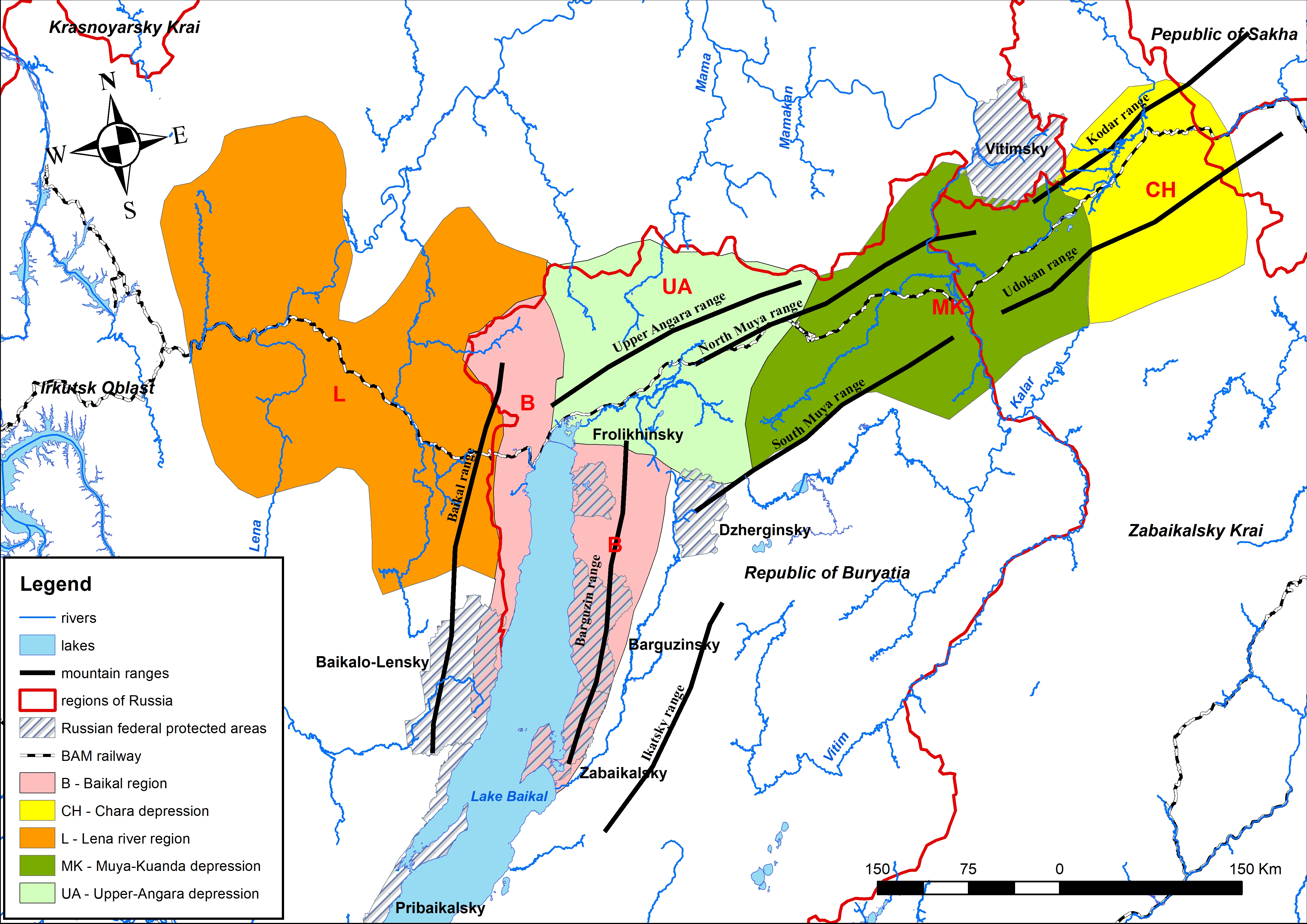
General map of the study area.
The information on region topography, water bodies, floristic regions and protected areas are combined in one map. Floristic regions (according to
|
|
||
|
General map of the study area. The information on region topography, water bodies, floristic regions and protected areas are combined in one map. Floristic regions (according to |
||
| Part of: Sandanov DV, Brianskaia EP, Batotsyrenov EA (2021) Distribution of vascular plants north of Lake Baikal: a new, open access dataset. Biodiversity Data Journal 9: e77409. https://doi.org/10.3897/BDJ.9.e77409 |