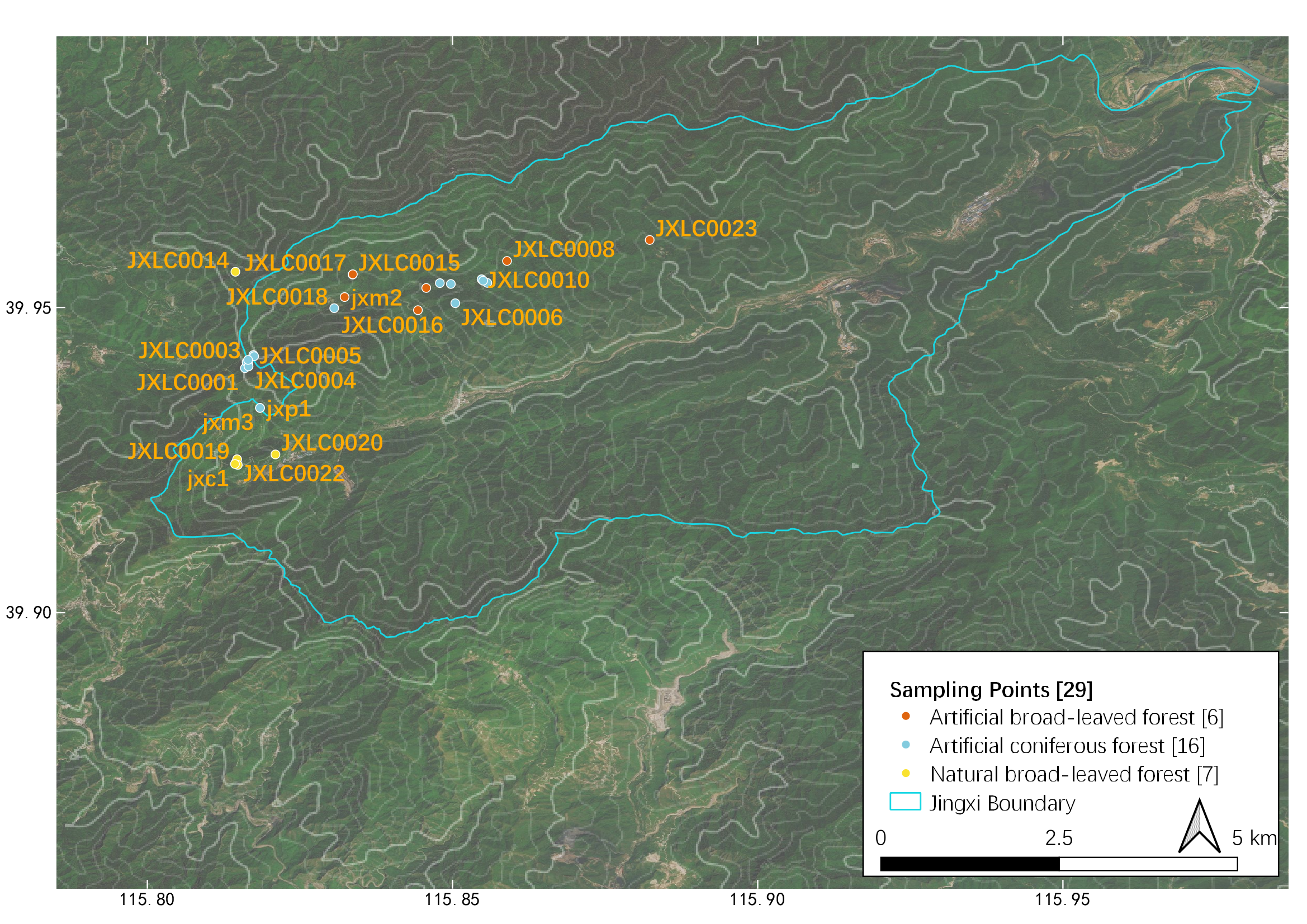
Sampling points and their distribution in Jingxi, see Table
|
|
||
|
Sampling points and their distribution in Jingxi, see Table |
||
| Part of: Shi X, Sun G, Yang X, Gao J, Tan L, Song Y, Hu Y, Zhou Z, Zhao H, Hu Z, Zhu S, Cao Y, Liao R, Chen W, Wu Z, Guan X, Ren X, Zhang S (2022) Result of a year-long animal survey in a state-owned forest farm in Beijing, China. Biodiversity Data Journal 10: e91132. https://doi.org/10.3897/BDJ.10.e91132 |