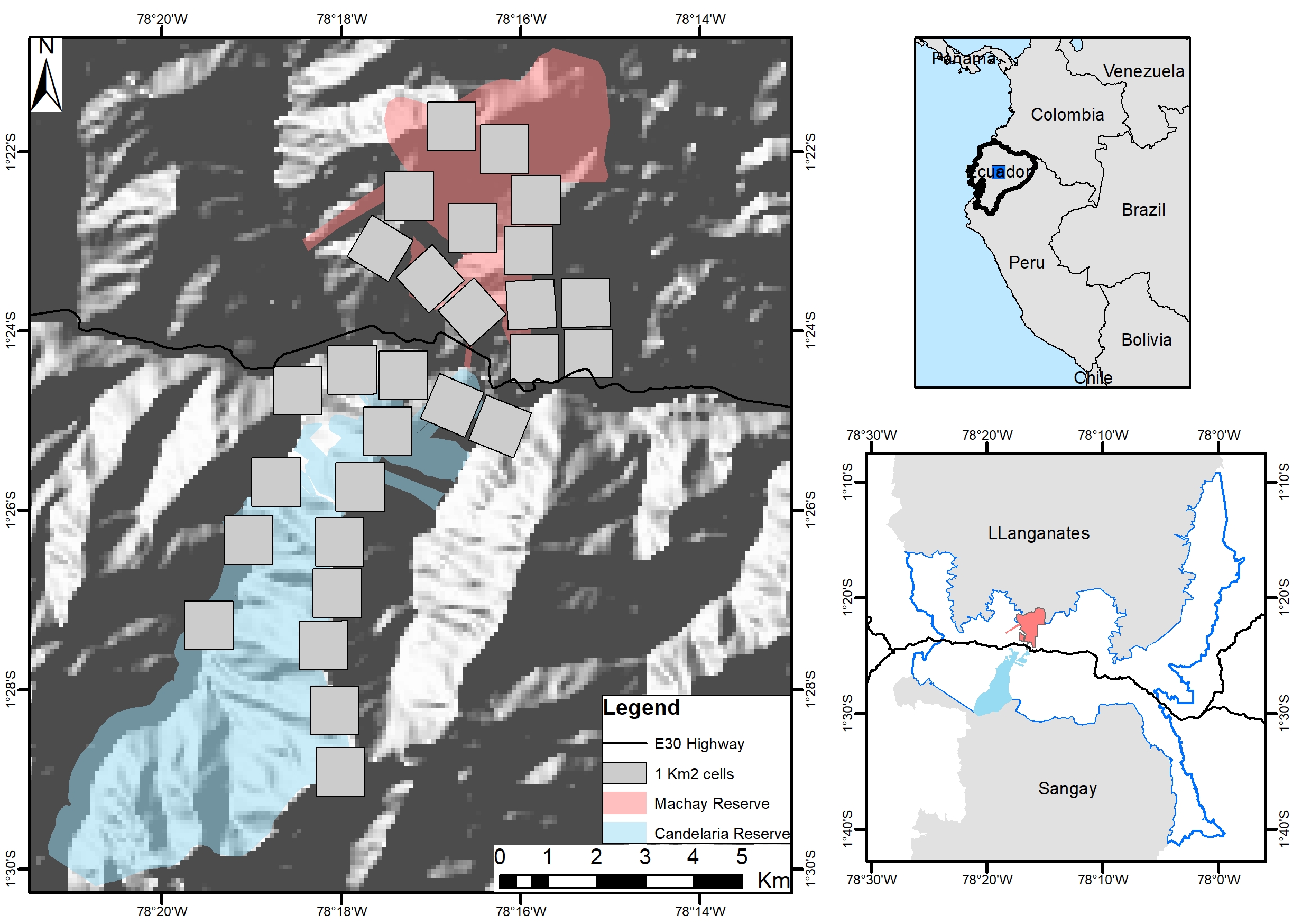
Study area. Large map shows the Machay Reserve in the north and the Candelaria Reserve in the south. Grey squares represent the sampling areas. The bottom right map shows the Llanganates and Sangay National Parks and the study area within the CELS (blue line).

 
  Part of: Reyes-Puig JP, Reyes-Puig C, Pacheco-Esquivel J, Recalde S, Recalde F, Recalde D, Salazar J, Peña E, Paredes S, Robalino M, Flores F, Paredes V, Sailema E, Ríos-Alvear G (2023) First insights in terrestrial mammals monitoring in the Candelaria and Machay Reserves in the Ecuadorian Tropical Andes. Biodiversity Data Journal 11: e98119. https://doi.org/10.3897/BDJ.11.e98119